Advanced Drone Imaging

Maps

Real-time photogrammetry

3D

Detailed 3D models

Inspections

High-res photo and video

Benefits of Aerial Imaging

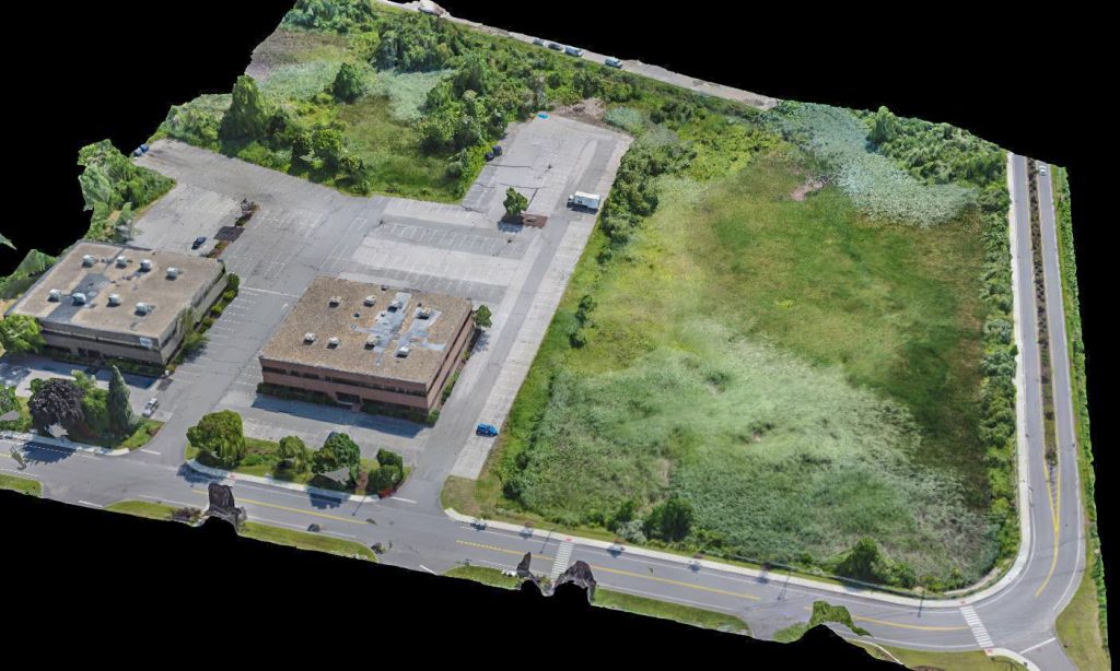
Our mapping technology is able to capture real-time, orthomosaic maps in hours rather than days of ground work. This can be used to speed up permitting discussions, track progress, check grades, and more. We can even achieve near survey-quality maps using ground control points to precisely represent elevation, slopes, distance, area and volume.

Our Mission...

Maximize our clients' resources through the use of aerial imaging.

Problem solving is our passion and we love using drone technology to find new ways to help companies make more money in less time.

Close Menu